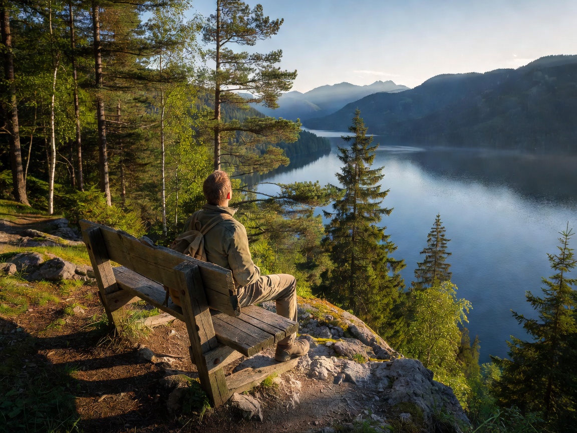
The geography surrounding Lake Wolfgang offers some of the most accessible and diverse trail networks in the entire Austrian Northern Limestone Alps. Because steep cliffs plunge directly into the water along the northern and eastern shores, the paths here vary from historic high-altitude pilgrim routes over mountain saddles to wooden cantilevered catwalks clinging just inches above the lapping waters.
1. The Historic Falkenstein Pilgrim Trail (Falkensteinweg)
The Falkensteinweg is perhaps the most spiritually and historically resonant walk in the Salzkammergut. For over a millennium, pilgrims traversed this rocky ridge linking St. Gilgen to St. Wolfgang in honor of Bishop Wolfgang of Regensburg, who spent a period of hermitage here around 976 AD.
- Trail Profile: Distance approx. 7.5 kilometers; elevation gain roughly 320 meters; duration 2.5 to 3 hours.
- Highlights: The Falkenstein Church (Falkensteinkirche), built directly against a vertical limestone rock face at the pass summit. Visitors pass historic hermitage chapels, the bell ringing station (Wunschglöcklein), and the Scheffelblick lookout, which delivers breathtaking aerial views across the entire lake basin.
- Trailhead: Begin at the Fürberg ferry dock near St. Gilgen and follow the signposted red-and-white Austrian alpine markings toward Ried and St. Wolfgang.
2. The Bürglstein Waterfront Boardwalk (Bürglstein Rundweg)
For walkers seeking minimal elevation gain with maximum proximity to the water, the Bürglstein Promenade connects Strobl to the outskirts of St. Wolfgang.
The Bürglstein is a forested limestone dome rising abruptly from the eastern shore. Rather than forcing pedestrians up and over the steep hill, an engineered timber boardwalk skirts the water's edge on reinforced steel piers. As you walk, the gentle sound of the lake echoing under the wooden planks pairs with clear views toward the Schafberg peak on the opposite shore.
- Distance: Roughly 4 kilometers round trip from the Strobl promenade.
- Suitability: Family-friendly, completely flat, and suitable for all weather conditions and evening sunset strolls.
3. The Bleckwand Summit & Natural Rock Window
For experienced hikers seeking an elevated perspective without the crowds of the Schafberg train, the Bleckwand (1,541 m) on the southern shore above Strobl is a premier local insider favorite.
- Trailhead: Accessible via the Bleckwand toll road from Strobl, terminating at the Bleckwandhütte mountain hut.
- Terrain: Mixed mountain forest path leading into rocky limestone scrambles. Duration approx. 1.5 hours ascending from the hut.
- The Feature: The famous Ofenloch—a natural limestone rock arch that frames the turquoise surface of Lake Wolfgang far below in a stunning natural picture frame.
Trail Comparison & Technical Specifications
| Trail Name | Starting Point | Distance / Elevation | Difficulty Tier | Footwear Recommended |
|---|---|---|---|---|
| Falkensteinweg | Fürberg / St. Gilgen | 7.5 km / +320 m | Moderate (forest & stone steps) | Sturdy hiking shoes with grip |
| Bürglstein Boardwalk | Strobl Lakefront | 4.0 km / +15 m | Easy (flat gravel & timber) | Comfortable walking shoes |
| Bleckwand & Rock Window | Bleckwandhütte (Strobl) | 3.8 km / +420 m | Moderate-to-Challenging | Ankle-high alpine boots |
| Zwölferhorn Hörndl-Loop | Zwölferhorn Top Station | 2.2 km / +60 m | Easy (graded alpine trail) | Standard trail or walking shoes |
Mountain Etiquette & Safety Protocols
While Lake Wolfgang’s trails are meticulously signposted by the Austrian Alpine Club (ÖAV), weather conditions in the Northern Alps can change swiftly. Morning lake sunshine can give way to afternoon alpine thunderstorms, particularly in late July and August. Always pack a waterproof windbreaker, carry adequate water, and check the regional mountain weather forecast (Bergwetter) before starting higher-elevation climbs.